on the northeast of the isle was constructed in the Qing Dynasty 300 years ago.")

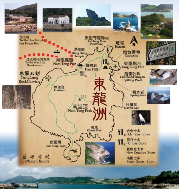
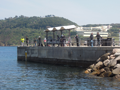
Most attractions on the island locate on the east coast. Leung Kee Kaito is the only ferry mooring at both piers, it is more convenient to get to the campsite and climbing walls offboarding at the new pier (Fat Tong Mun).
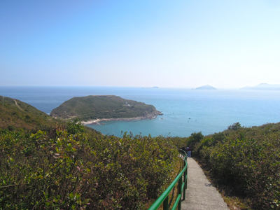
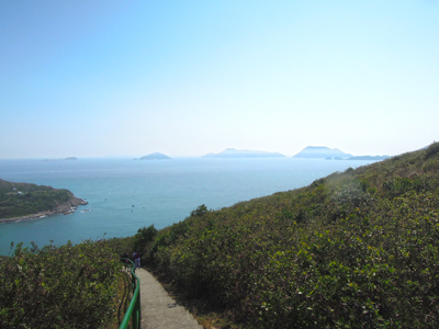
Returning from the south of Nam Tong Peak is concrete path along the West side. Go northerly (turning right at the junction) when you reach Luk Keng Wan, you may also visit Tathong Point if time is enough. On your left is the great seaview of Lyemun and Victoria Harbour heading north and then return to the pier.
Take around 4-5 hours
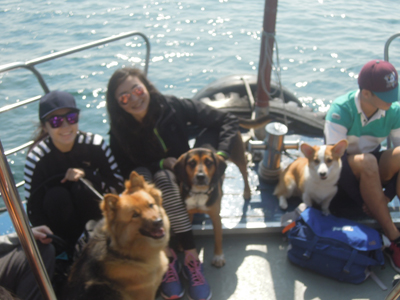
Bring your pets
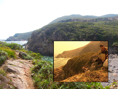
Site for Aerial photography
TVB Drama Scene locations - A Step into the Past
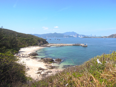
beach
Hen Hill
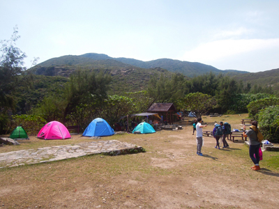
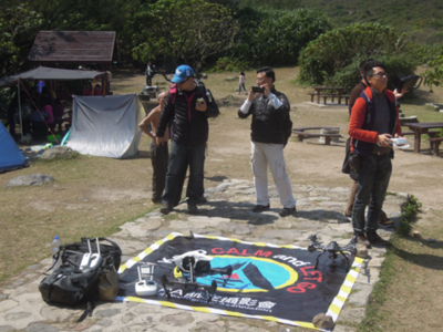
Tung Lung Fort Campsite
Technical Wall
Overlooking Ninepin Islands
Tung Lung Fort
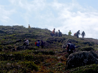
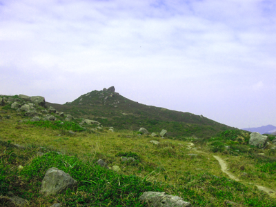
heading to Nam Tong Peak
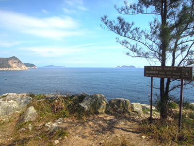
Tathong Point
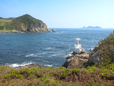
Luk Keng Wan/Nga Ying Pai Beacon
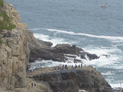
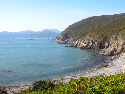
Tathong Channel
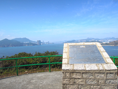
Observatory
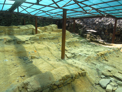
Tung Lung Ancient Rock Carving
Hung Shing Temple
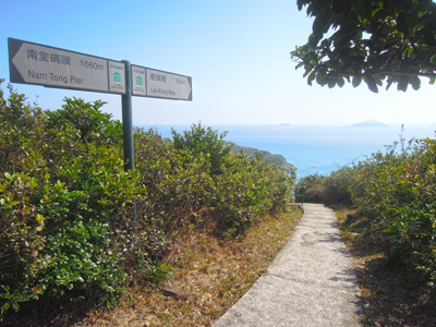
Nam Tong Pier
Tung Lung Island (Tung Lung Chau), formerly named as Nam Fat Tong, is an outlying island locating at the East of Hong Kong Island and South of Sai Kung Peninsular. It is the 9th largest island in Hong Kong.
It has an area of 2.42 km2 with only about 100 inhabitants. It is an ideal place for hiking, fishing, camping, stargazing, kite flying and rock climbing...
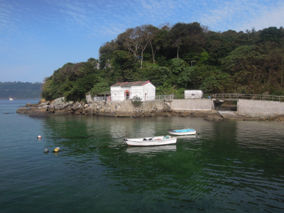
Taking ferry from Sai Wan Ho takes about 40 minutes
Natural Landscape
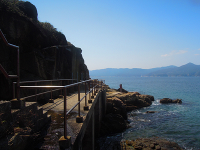
The island is famous for its beautiful scenery, rocks and waves. The campsite is located near the cliff, overseeing the scenic Fat Tong Mun, which is said to be the escape route of the last emperor of the Southern Song Dynasty in the 13th century. The teenage king jumped into the sea to end his life there.
Cultural Heritage
Tung Lung Fort(1719) on the northeast of the island was constructed in the Qing Dynasty 300 years ago.
On the west is a historic rock carving of dragon measuring 1.8m by 2.4m. It is the largest ancient rock carving in Hong Kong. Both the fort and the stone carving are declared monuments.
Opposite to Tung Lung Chau is Hong Kong's biggest Tin Hau Temple(1266) on the Joss House Bay. A 13th century stone carving is found next to the Temple. The Temple is visited by thousands of fishermen, celebrating the birthday of the Goddess of Sea on 23rd of the third Chinese calendar month.
Taking Leung Kee Kaito to Tung Lung Chau.